Smart cities
Urban sensing data for smart-city and mega-project programmes, especially in the Middle East.
Who it is for

Smart-city and mega-project programmes and their technology partners, especially in the Middle East.
Typical data problems

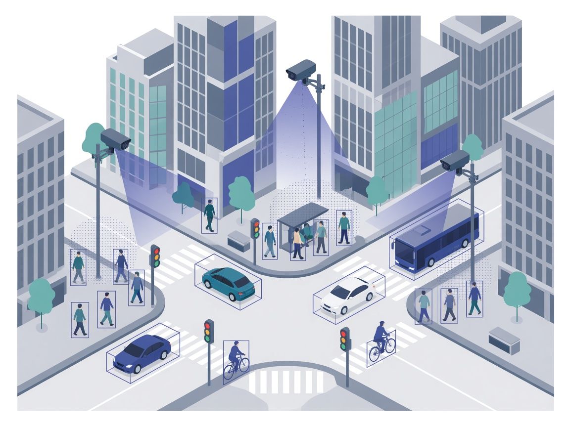
Urban sensing data that includes people, vehicles and infrastructure in camera and sensor feeds, at intersections, transport hubs and public spaces, where scenes are busy and labels must stay consistent across many cameras and sensor types.
What Abelling can do

Image, video and multi-sensor annotation for smart-city and mega-project programmes. We apply our Computer Vision method, with an agreed taxonomy and review before delivery.
Delivery and security

Every project runs through the same method: an agreed scope and taxonomy, calibration where the project calls for it, production by trained annotators and review before anything is handed back. Read more in How We Work and Tools and Delivery.
Data handling, including access, transfer, retention and deletion, is agreed with you in writing before work starts. See Security and Compliance for how we handle data.
Request a Project Quote

Tell us about the data, the sensors and the classes involved, and we will scope the work with you.